City Map Grid

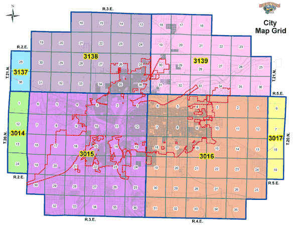
The Mapping/Addressing Office maintains a parcel base map for the incorporated City of Great Falls and surrounding area. The total area of the City Grid Map is 122 square miles and we offer this resource in a complete grid map or in a section map (one square mile) format for ease of loading and detail. These are PDF files and you will need Adobe Acrobat Reader to view these maps.

City Map Grid

3014-013014-123014-133014-243015-013015-023015-033015-043015-053015-063015-073015-083015-093015-103015-113015-123015-133015-143015-153015-163015-173015-183015-193015-203015-213015-223015-233015-243015-253015-263015-273015-283015-293015-303015-323015-333015-343015-353015-363016-013016-023016-033016-043016-053016-063016-073016-083016-093016-103016-113016-123016-133016-143016-153016-133016-173016-183016-193016-203016-213016-223016-233016-243016-253016-263016-273016-283016-293016-303016-313016-323016-333016-343016-353017-063017-073017-183017-193137-253137-363138-133138-143138-153138-163138-193138-203138-213138-223138-233138-243138-253138-263138-273138-283138-293138-303138-313138-323138-333138-343138-353138-363139-163139-173139-183139-193139-203139-213139-223139-233139-253139-263139-273139-283139-293139-303139-313139-323139-333139-343139-353139-36